
Photos
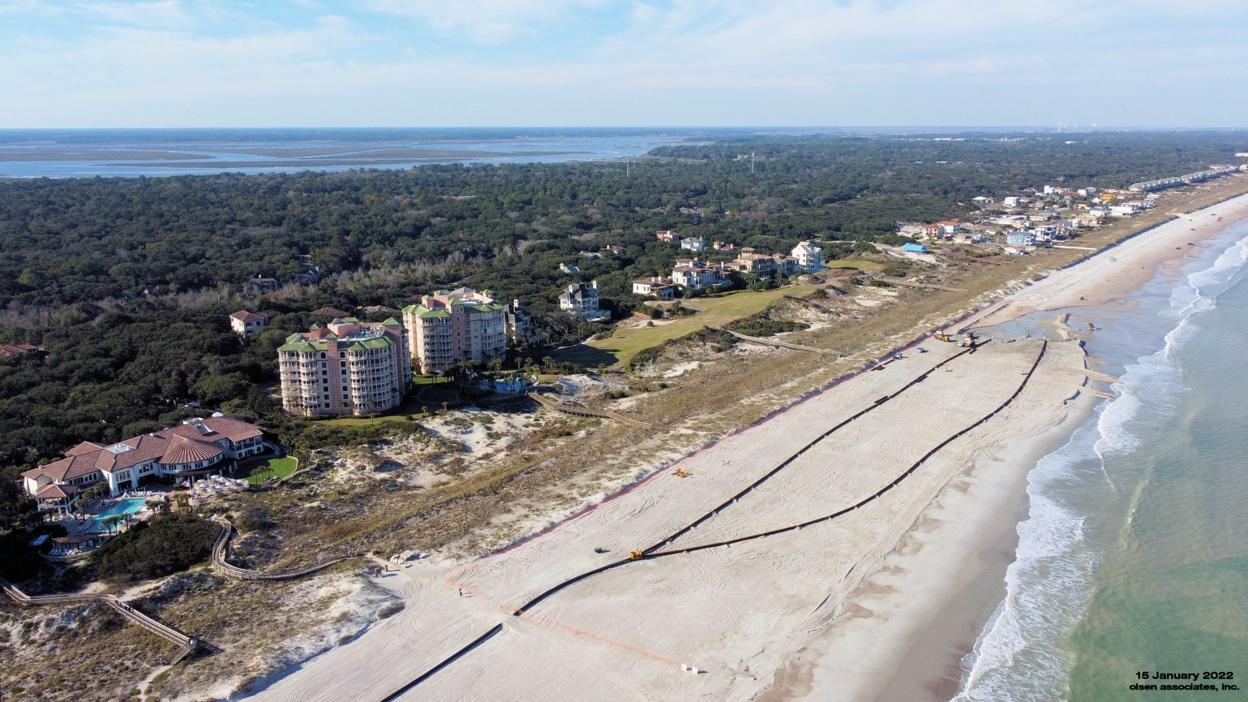
An aerial photo at the north end of the project on the last day of beach fill operations (15 January 2022).

An aerial photo of the beach fill operations at the Spyglass villas near station 165+00 (30 December 2021).

An aerial photo of the dredge Savannah operating at Nassau Sound at the south end of Amelia Island. Beach fill operations at the Spyglass villas near station 165+00 (30 December 2021).
An aerial photo of beach fill operations at Sand Castles near station 150+00 (08 December 2021).
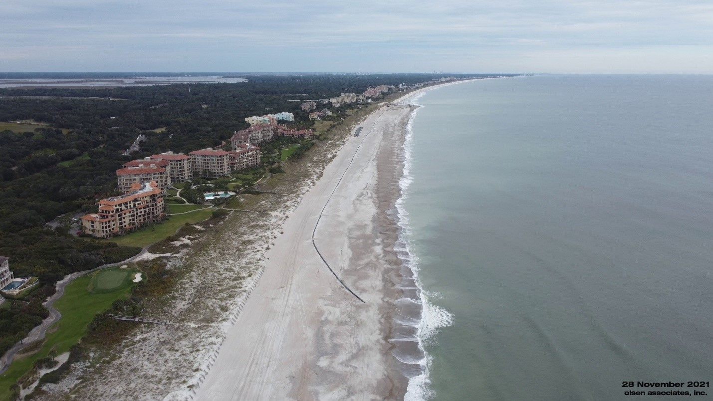
An aerial photo of the nourished shoreline looking northward from the South County Access. The dredge pipeline can be seen coming ashore and running northward to the current beach fill area at the Omni hotel (29 November 2021).

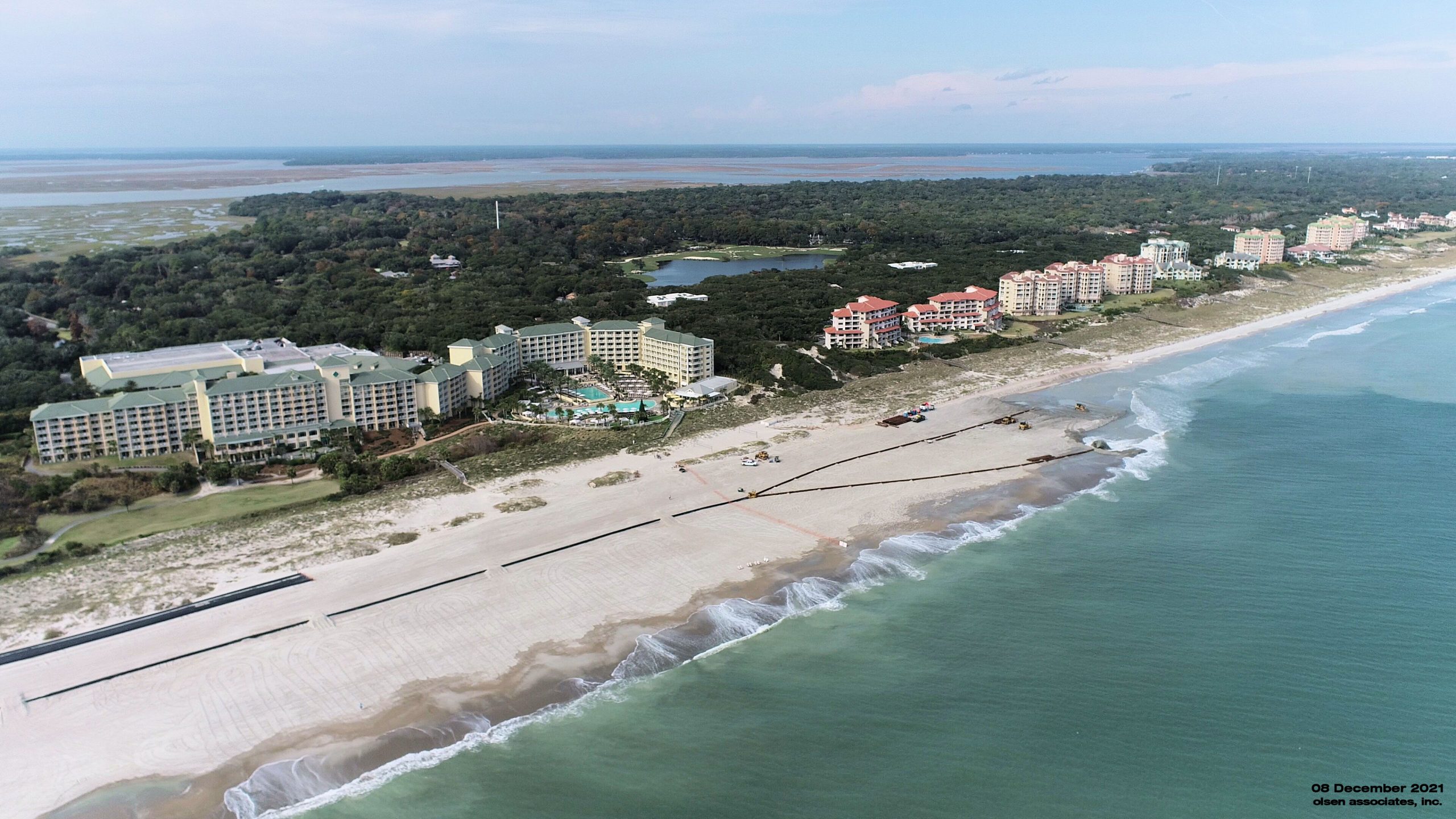
An aerial photo of beach fill operations along the Omni Hotel shoreline near station 140+00 (29 November 2021).
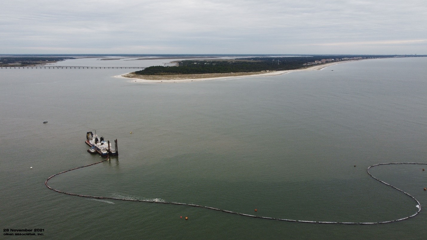
An aerial photo of the dredge Savannah operating at Nassau Sound at the south end of Amelia Island beach fill operations along the Omni Hotel shoreline near station 140+00 (29 November 2021).
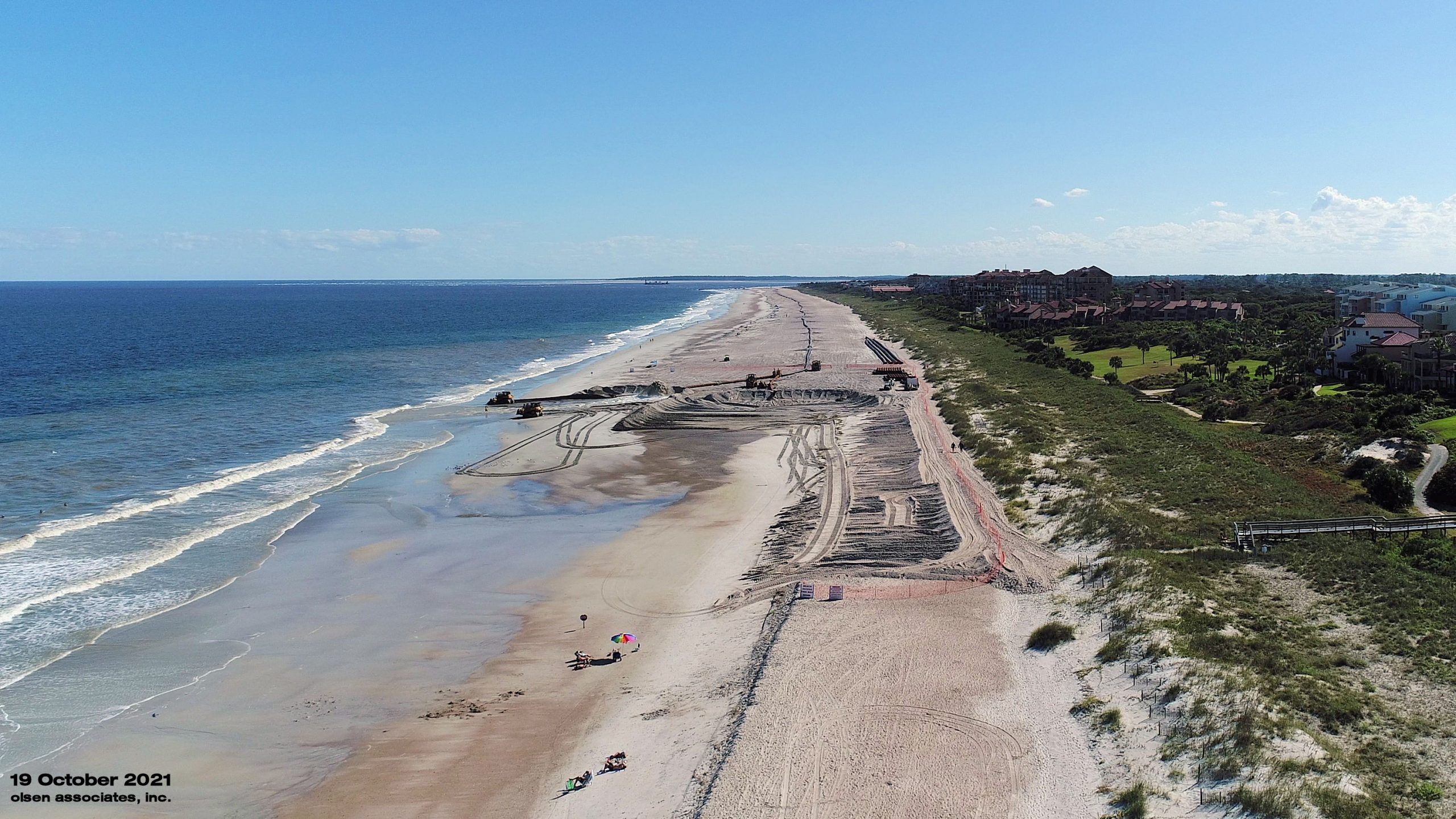
Beach fill progress at Dune Court (October 19th)
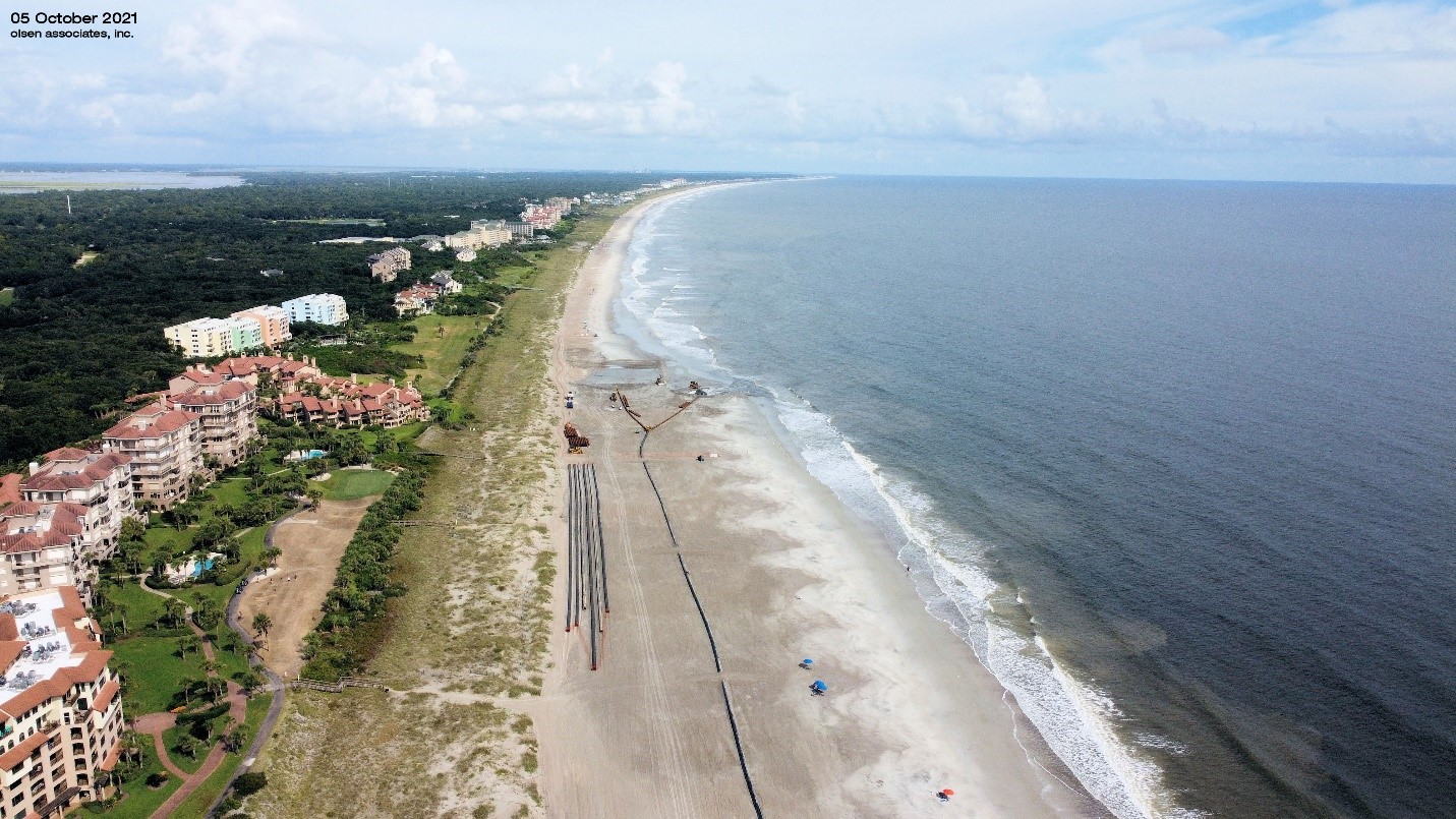
An aerial photograph of beach fill construction near Windsong Villas and Shipwatch, looking northward up the beach. The view illustrates the widening of the shoreline by the nourishment project (October 5, 2021).

A comparative image of aerial photographs both taken during renourishment of the Windsong/Shipwatch area in 2011, and presently in 2021 (October 5, 2021). The comparison illustrates the maintenance renourishment cycle of the SAISS project.

An aerial photograph of beach fill construction near the South County Beach Access on Amelia Island (August 24, 2021).

A panoramic photograph of the pipeline discharge on the beach near the South County Beach Access on Amelia Island (August 24, 2021).

Beach fill progress at R-72 (11-August-2021)
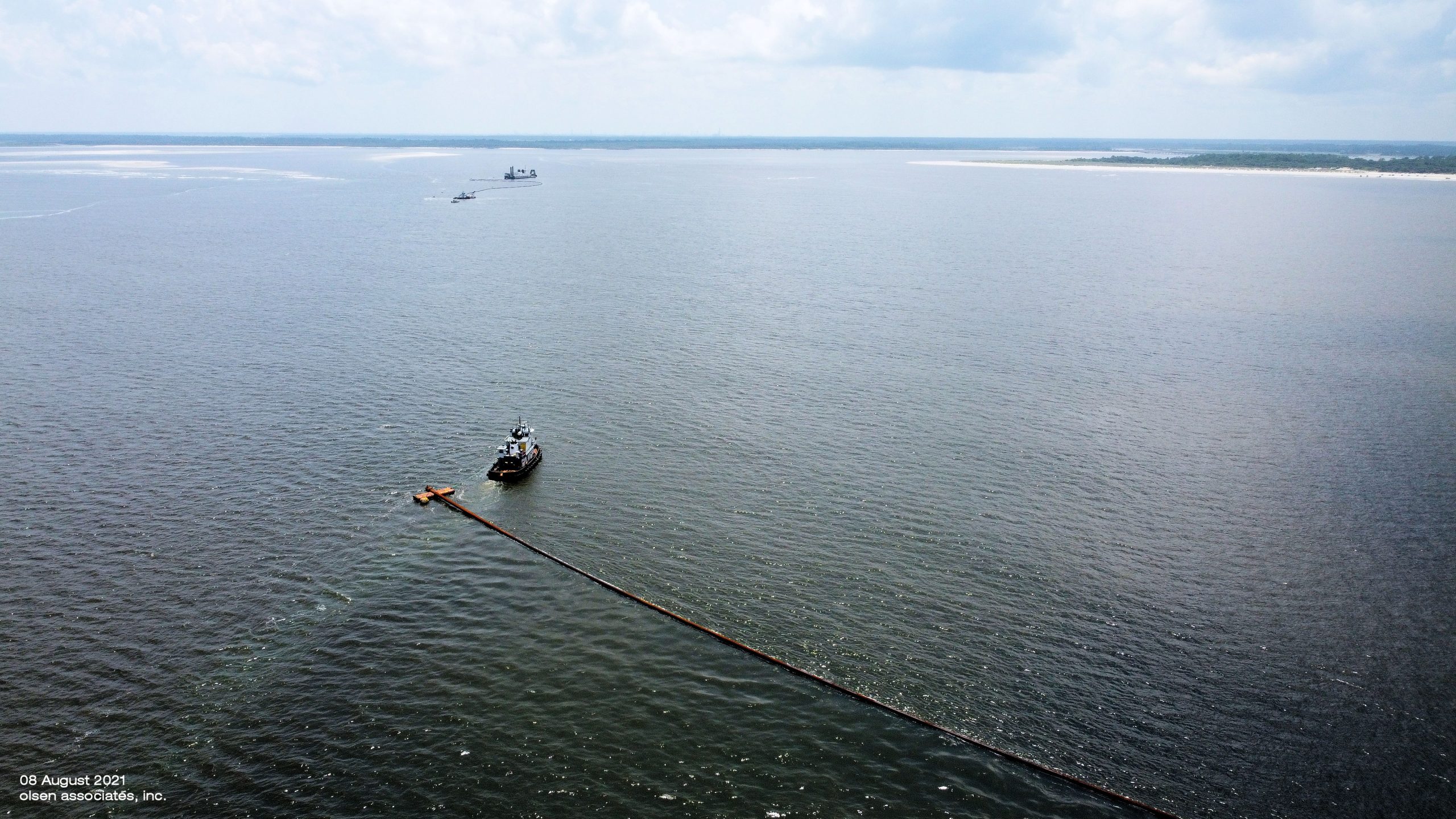
Floating in subline (8-August-2021)
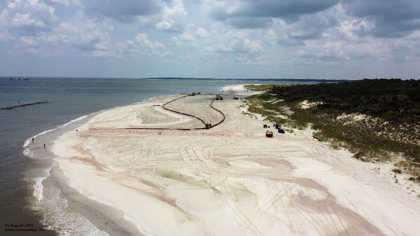
An aerial photograph of construction progress at the south end of Amelia Island, looking southward (1-August-2021).

An aerial photograph of construction progress at the south end of Amelia Island, looking northward (1-August-2021).

A photograph of the initial pipeline landing and dredge discharge at Amelia Island (July 29, 2021).
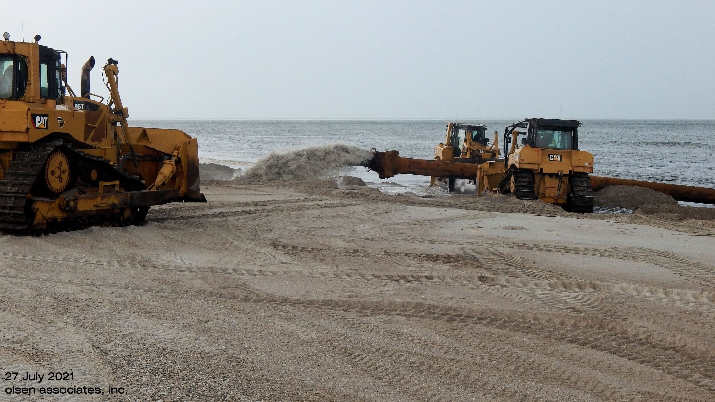
A photograph of the initial pipeline landing and dredge discharge at Amelia Island (July 27, 2021).

A photograph of the Dredge Savannah at work in the borrow area off Amelia Island (July 29, 2021).
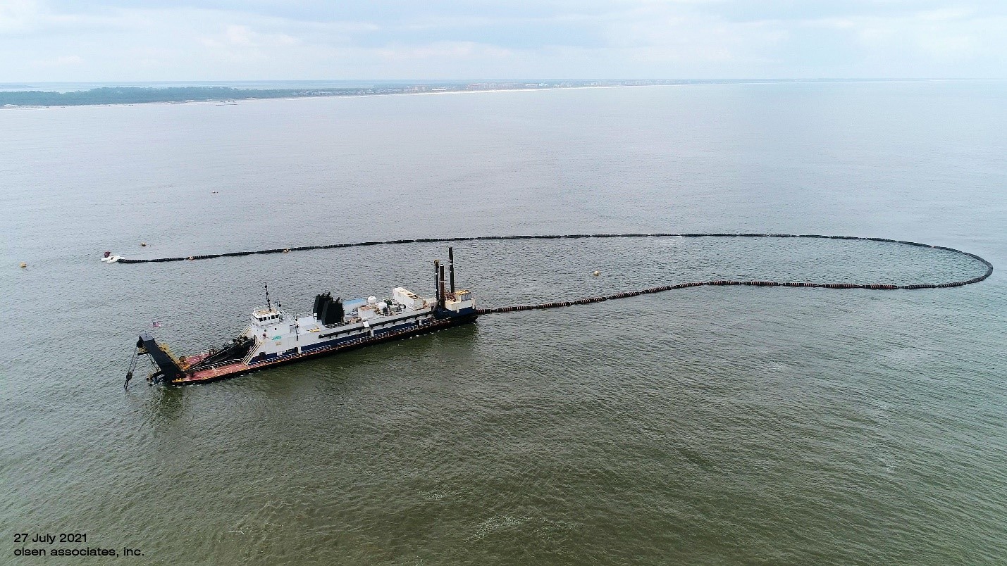
A photograph of the Dredge Savannah at work in the borrow area off Amelia Island (July 27, 2021).
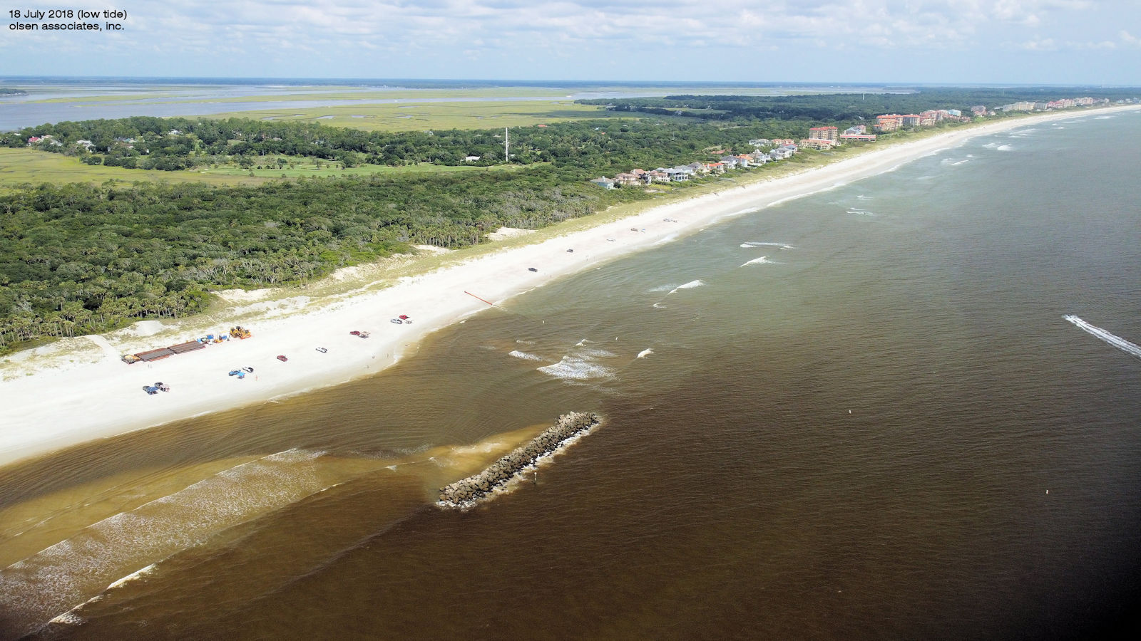
A photograph depicting the south shoreline of Amelia Island, looking northward, and showing the detached rock breakwater, the dredge pipeline landing north thereof, and the on-beach equipment storage area for the Contractor (18 July 2021).

A photograph of South Amelia Island, taken from offshore in the general vicinity of the borrow area (18 July 2021).
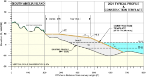
2021 South Amelia Island Beach Nourishment
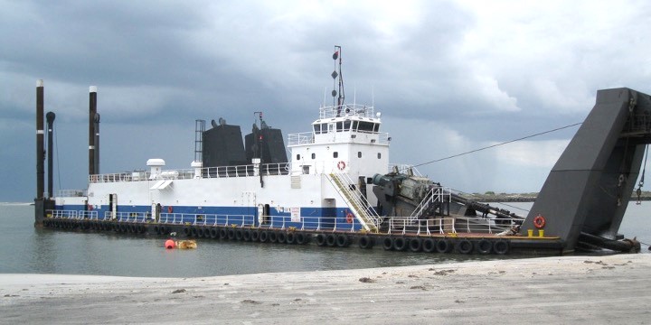
Dredge Savannah, Marinex Construction, Inc.